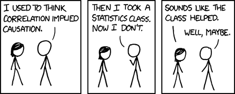
On discussion, it seems they consider GIS to equal numbers and statistics which the y are afraid of. This is also a theme identified in the analysis of the user interviews I have been conducting. My interviewees, in the main, are not quantitative researchers with a little knowledge of GIS but think it could be potentially useful for their subject area. They are much more comfortable with using data that are non numerical in nature. This has got me thinking...
- Do you have to a high degree of statistical literacy to “do GIS” ?
- Does the idea that to "do GIS" you need to be good at mathematics act as a barrier to entry?
- Is the idea true, to "do GIS" do you need to be good at mathematics?

With the right tools (and having grasped how to use them) you don't need to be good at mathematics. But the idea would certainly create a barrier for some people if they were aware of that idea.
ReplyDeleteI think there is also such a thing as "do GIS well". Dealing with data you can create a chart or map but just because the computer worked out the calculations doesn't mean it isn't lying. Such as is your source data as precise as you've made it look on the map? Is your source data reliable? The sort of lessons you might learn in mathematics.
Stats defiantly has a perception of 'being difficult to do' and it's quite easy to see how this is translated from Stats to GIS - being computery, technical and in some ways quite difficult to see the process underlying the output.
ReplyDeleteFor example you can make a statistical statement - 'birds are significantly smaller than mammals (p = 0.01)' - but this doesn't tell you what test was used, or how to go about doing the test yourself. GIS could be seen as similar, with lots of fancy maps being created, but not seeing easily what data went into them and how it was visualised.