
It turns out we both start with a demonstration. Claire uses her fist to represent the globe and her other hand to represent the piece of paper that is then wrapped around the globe (somewhat like the rock, paper scissors game). I on the other hand use a Clementine and a piece of paper – the paper crumples resulting from wrapping the paper around the Clementine represent the distortions that occur during the projection process. We both then go on to talk about grids etc...
Both of these illustrate the problem of modelling a complex reality in 2D. So if new learners imagined that a giant piece of graph paper is wrapped around the globe and that each place on earth is then marked on the graph paper it is possible to visualise the fundamentals of digital mapping.
The map window in a GIS is in essence a sheet of digital graph paper. One possibility is to harness this metaphor in our tutorials. Projection systems can be introduced simply within our scenarios, perhaps by activating and showing the grid (ie the sheet of graph paper) and asking the user to observe th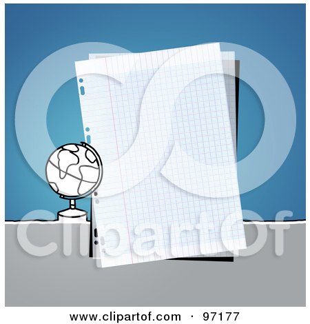 e coordinates changing as the mouse is moved horizontally and vertically.
It is important to understand the basics if you are using data that is not GIS ready. For example, one of the practical’s I have designed for the International GIS summer school at the University of Malta that I teach on uses a data set of road traffic accidents in England (from the UK open data initiative). The text file contains the X,Y location of each accident as an attribute field. In order to create point data of each accident the students need to know:
- 1) Why there is such a thing as a coordinate system?
- 2) How to identify fields containing coordinate data in the data set?
- 3) What coordinate system the fields represent?
- 4) How you can view the coordinates change as you move the mouse over your map
No comments:
Post a Comment